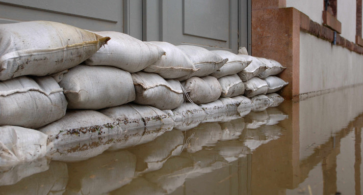
Time and time again flooding occurs in Europe, with heavy losses at times. Technically engineered structures alone cannot provide protection against extreme flooding. Rather, other courses of action must be exploited in order to reduce the devastating effects of flooding not only on ourselves and our environment, but also on our culture and our economy.
The European Flood Risk Management Directive (FRMD) that entered into force in 2007, and its implementation in the German Federal Water Act (CWA), follow this approach and provide for a number of measures for flood risk management:
- Identifying areas with a significant flood risk:
Areas that are particularly vulnerable in terms of the protected resources or the flood probability, are the focus of flood risk management policy.
- Creation of flood hazard and flood risk maps:
These maps show a spatial representation of the flooding risk (area and depth) and the affected utilization. The maps form the basis for risk analysis and action planning. They can be viewed online on the homepage of the data and map service of the State Institute for the Environment, Measurements and Conservation in Baden-Württemberg (LUBW).
- Establishment of flood risk management plans:
These plans contain the proposed measures for reducing the risk of flooding. They were prepared (analogous to the implementation of the WFD) in Baden-Württemberg for six working areas. Important fields of action include land-use planning and spatial planning, crisis management, water management, self-provision of companies, owners of cultural goods and citizens, as well as the raising of awareness. In order to integrate the many players full-scale into the planning, action reports were also drawn up at the regional level, indicating the flood risk and the need for action for every community. The flood risk management plans and action reports can be viewed at Hochwasserportal Baden-Württemberg. The website also offers access to an environmental report, which was drawn up as part of the strategic environmental assessment of flood risk management plans.
The information and public participation is a central part of the flood risk management in Baden-Württemberg. More than 100 events involving public participation and interested parties were conducted throughout the state between 2010 and 2015. The municipalities are supported in the implementation as a central player in flood risk management as part of flood partnerships.
The regional councils in their capacity as river basin authorities are responsible for the flood risk management planning. The maps and plans are updated regularly.
The coordination of the flood risk management planning in international river basins is exercised by the International Commission for the Protection of the Rhine (ICPR) for the Rhine basin and the International Commission for the Protection of the Danube River (ICPDR) for the Danube River Basin. In addition, numerous instances of bilateral voting on various cross-border issues are taking place, such as the integrated Rhine programme or the flood forecasting.